
A key element to our seagrass protection and restoration efforts is monitoring the meadows, to make sure our work is impactful. In general, mapping and monitoring of sensitive habitats, like seagrass, in the marine environment is challenging. But, all that is about to change!
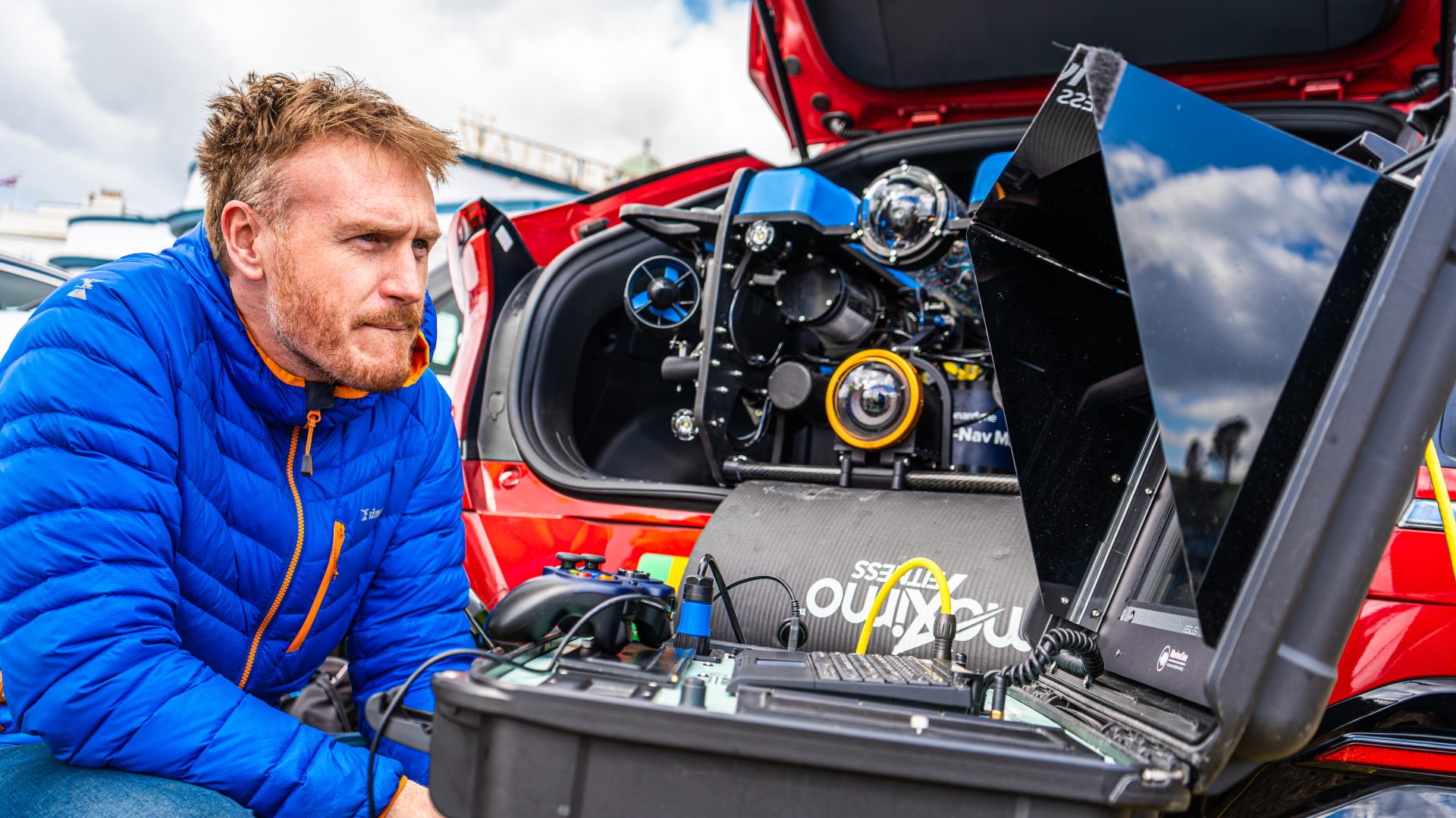
Working in partnership with Sonardyne, MarineSee, Voyis and Blue Robotics, we have developed a specialised Remote Operated Vehicle (ROV); an exciting tool that will enable us to map seagrass in unprecedented detail!
Using state-of-the-art underwater positioning technology, the ROV is capable of producing high-resolution photogrammetry to track our restoration efforts and monitor established seagrass beds. Complemented by other exciting acoustic technologies, we are aiming to demonstrate a more comprehensive way of mapping and monitoring seagrass, to support our protection and restoration activities. The ease and precision of repeatability will also enable us to much better understand seasonal and annual change in the seagrass meadows, so we can expand our knowledge around each of our restoration sites.


“To be able to look at seagrass in this way is hugely exciting for us as a team – we’re very fortunate to spend a lot of time in and on the water but this technology promises a much more accurate, detailed and efficient way we can monitor some of the main metrics of seagrass health. This also means we can use divers differently for things the ROV can’t do. We’re so grateful for Sonardyne’s help to take a huge step forward in our capabilities to monitor which will ultimately feed into improving how we go about restoring seagrass.”
Andy Cameron, Conservation Projects Manager
If you are interested in supporting our innovative seagrass conservation work then please consider donating using the button below.